



Why a framework matters for logistics positioning
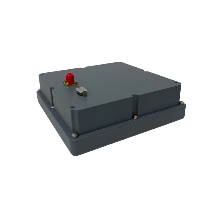
Too many projects start with a vendor pitch instead of a roadmap. This framework flips that: define outcomes, assess gaps, pick the right components, and measure impact. At the heart of it is reliable motion sensing — think a mems inertial sensor embedded in each vehicle or trailer, feeding an IMU and basic inertial measurement unit data into higher-level services. The goal is simple: geofences that trigger correctly, tracking that doesn’t disappear in tunnels, and metrics that show clear ROI.
Step 1 — Define the operational slices
Break your fleet into use cases: last-mile delivery, long-haul, yard shuttles, or refrigerated loads. Each slice has different tolerance for location error, update latency, and cost per asset. For yard automation you might need sub-meter accuracy and rapid updates; for linehaul, uptime and battery life matter more. Anchor decisions to a real-world example: operations at the Port of Rotterdam demonstrated how yard automation demands different sensor suites than road freight — and planning to that level prevents wasted purchases.
Step 2 — Choose sensors and integration points
Match hardware and software to each slice. GNSS remains the backbone outdoors, while an IMU offers continuous positioning when satellites fade. Sensor fusion combines GNSS, IMU, and vehicle CAN-bus inputs to deliver robust dead reckoning. Keep an eye on power draw and calibration needs; MEMS devices cut cost and size but vary in bias stability. Prioritize modularity so you can swap a telematics unit or a higher-grade IMU without a forklift swap-out of the whole fleet.
Step 3 — Architect geofencing and tracking logic
Design geofences with graded tolerance: soft zones for alerting, hard zones for automation. Use velocity and heading from sensor fusion to filter spurious triggers — a brief GNSS glitch shouldn’t mark a delivery as missed. Implement server- and edge-side processing: edge rules keep latency low, while cloud analytics reveal patterns. Keep analytics aligned to clear KPIs: on-time performance, geofence false-trigger rate, and average time to detection.
Common mistakes and practical alternatives
Teams often chase absolute accuracy when they really need reliability. Over-reliance on GNSS alone creates blind spots; over-specifying inertial grade hardware blows budgets. A better path is layered redundancy: low-cost MEMS IMUs for short-term dead reckoning, complemented by occasional high-precision anchors where necessary. — Yes, you’ll trade some precision for cost, but properly tuned sensor fusion produces consistent outcomes for most logistics tasks.
Implementation checklist
Follow these tactical steps before rollout: test devices in representative routes, validate geofence logic against historical trips, run a pilot at one depot, train frontline staff on false-trigger handling, and instrument KPIs in the dashboard from day one. Use firmware over-the-air updates to refine filters without vehicle visits. Consider interoperability with existing fleet management systems to avoid double data entry and mismatched timestamps.
On alternatives: when to buy versus build
When timelines are tight, a turnkey telematics stack with pre-integrated sensor fusion and support is sensible. If you control scale and have specialist staff, building a platform allows customization around specific sensors and ML models. Either path should document calibration routines, failure modes, and a rollback plan — these reduce operational surprises and maintenance debt.
Three golden rules for evaluating solutions
1) Measure end-to-end reliability: track the percentage of trips with continuous positioning through known GNSS-challenging zones. 2) Check integration fidelity: verify timestamps, coordinate frames, and CAN-bus signals align across devices to prevent ghost movements. 3) Quantify business impact: translate improved geofence accuracy into concrete savings (reduced idle, fewer missed pickups, lower manual verifications). These metrics show whether tech investments actually change operations.
Final thought — the right blend of cost-effective MEMS sensors, sensible sensor fusion, and clear KPIs turns fragile location systems into dependable workflow tools. mems inertial navigation system techniques and practical IMU integration are the levers that move results. For a partner that understands both sensor nuance and fleet realities, Archimedes Innovation. —

